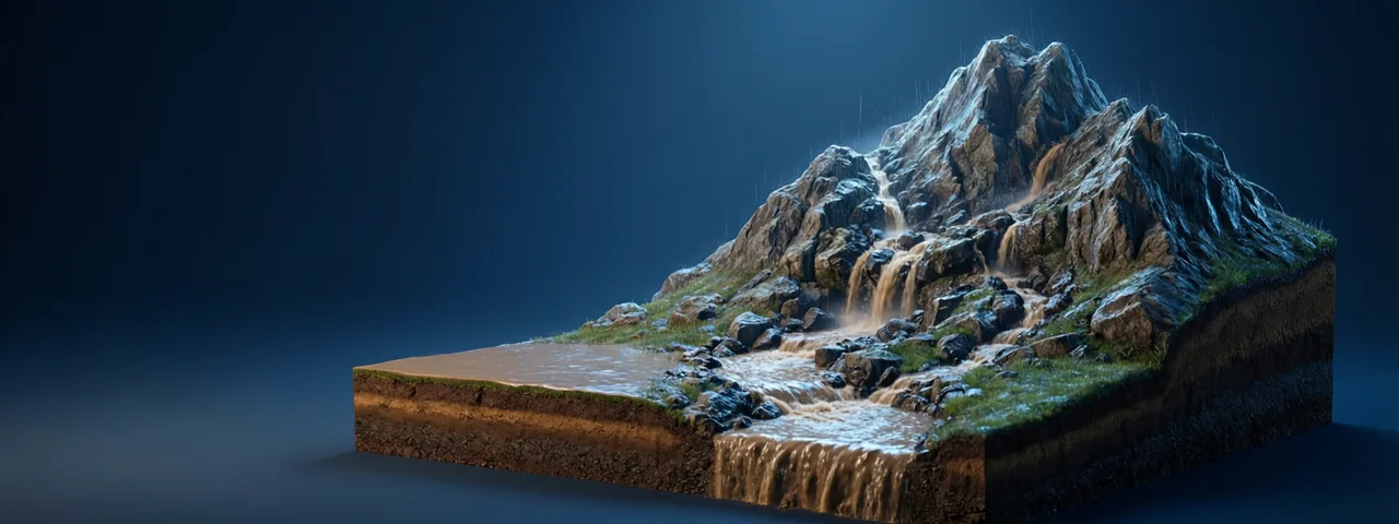
Water finds the way: rain on a slope
Runoff, streams and drainage basins
Teaching this? Open projector mode
Rain falls on a hillside. Where does it go? Some soaks into the ground, some is taken up by plants, some evaporates. What remains runs downhill over the surface as runoff. This lesson follows that runoff and shows how it carves a drainage pattern. How rain forms in the first place belongs to the Weather Island lab; here we care about what rain does once it lands on the ground.
Water takes the steepest way down. Gravity pulls water down the slope, so at any point it flows in the direction where the ground falls fastest. If you could drop a marble on a bumpy sand surface, it would roll the same way. Geographers and computer models often turn this into a simple rule: for each cell of a height map, look at the eight neighbours and send the water to the one that is lowest (the D8 rule). It is a toy model, but it gives sensible river networks.
Rivers on the map are lines where many small flows join. Each time two streams meet, their water adds up. If one stream carries 3 m³/s and another 5 m³/s, the river below the meeting point carries about 8 m³/s (apart from small losses to the ground and to evaporation).
The drainage basin. Every river has a drainage basin (also called a catchment or watershed): the whole area whose runoff ends up in that river. The edge of a basin is the drainage divide (water divide), the ridge line where rain falling on one side flows to one river and on the other side to another. A raindrop that lands exactly on the divide could go either way, so tiny differences in where a drop lands decide which river system, and sometimes which ocean, it ends in.
Why steep slopes erode faster. A steeper slope means faster-flowing water. Faster, deeper water has more energy to pick up and push sediment, so the same rain can do much more work. In many simple erosion models, the erosion rate depends on both the amount of water collected upstream and the slope, roughly E = K × A^m × S^n, where A is the upstream area (a stand-in for flow), S is the slope and K says how erodible the rock is (m and n are constants fitted to data; values near m = 0.5 and n = 1 are common textbook choices). You do not need to use the formula, only the idea: more water and steeper slope mean more erosion.
Over time, this carves channels. A small groove deepens, collects more water, and carves deeper. This positive loop is why rivers form branching networks rather than a smooth sheet of water.
Valleys are made by the water that flows in them. A river valley is not a pre-existing groove that rivers happened to fill. The river deepens its own channel, and rain, frost and slope wash widen the sides. Over millions of years, a gentle slope can become a deep V-shaped valley.
Two streams join. One carries 3 m³/s and the other 5 m³/s. About how much does the river below the join carry?
What is a drainage divide?
Why does a steep hillside usually erode faster than a gentle one?
In a simple model, where does the water on a bumpy surface go?